**A note: These flights are from June/July 2017. The post was mostly written three years ago and just recently polished up and the slides and video put together. I hope you enjoy this trip down memory lane.
We bought the Mooney to go places, and we have been going places… I have a new high for hours flown in a month with 18.4 so far in July and a couple more trips to go before the calendar ticks over to August. Here are our last three trips, one to Utah, one to Idaho with some flightseeing along the way, and another one to Arizona.
June 30th / July 2nd Corona (KAJO) to South Valley Regional (U42)
Earlier this year my sweet wife realized that most of my sisters would all be in Utah on the same weekend. It would only require myself, my parents, and one sister to get there to have a family reunion. So, she got the gears turning, coordinated with everyone, and it happened. We hadn’t had a family reunion for quite a while and it was great to have everyone together.
It would just be a one day event on Saturday so we needed to be there Friday night. Without the Mooney it would have required a day off work, but with it I could work half the day before leaving. I had been out to the airport a few days prior to look the plane over well, take it for a short flight, and fill the tanks.
We got out to the airport and as we were loading up the plane I realized I had forgotten my camera and tri-pod. (I was supposed to take the family pictures.) My wife asked if she should go home and get it but with the afternoon traffic on the 91 freeway piling up it would have taken a long time. My sister who “always” has her camera turned out not to have hers either, but her husband that was flying in Saturday brought it with him and saved the day.
After pre-flight on the plane we climbed in, turned on the home-made AC, and started up the engine. Having already fueled up we went straight to the run-up area and after everything checked out we were on our way. The great folks at ATC (Air Traffic Control) took good care of us on flight following, including the Las Vegas folks who cleared us through their Bravo Airspace at 9,500′, saving us from having to climb up and go over it.
It was going to be close to make it to South Valley Regional (U42) just south of the SLC Airport without refueling with the winds that were forecast. With my right tank seeping a little if I put more than 22-23 gallons in it I started with 48 gallons on board. That gives me four hours with about an hour reserve. (VFR daytime rules are 30 minutes reserve, but my personal minimum is 1 hour). My plan was to take off on the right tank, switch to the left after 45 minutes, run it dry, and see where I was. I would still have more than an hour left in the right tank and depending on where we were we could continue on to U42, or stop in Delta (KDTA) or Spanish Fork (U77) for fuel. It would all depend on the winds.
I had never run a tank dry, but have read that it is a non-event, and it is even the recommended practice in the POH (Pilot Operating Handbook) for the plane. The advantage is that you will have all of your available fuel in one tank instead of some in each side. I knew I had about a 20 minute window where I would run dry and was keeping an eye on the fuel pressure gauge. It turned out that it was at the beginning of the 20 minute window when the fuel pressure started dropping, signaling that the tank was dry. We had just passed east of Delta so I reached down, switched tanks, and decided we would refuel there. We were still a little over 30 minutes away, and while we could have made it and still had the legal minimum fuel, it was past my personal minimum. Sure it would add about 30-45 minutes to the trip to allow for descent, refueling, and climb back to altitude, but to borrow an old joke, “The only time you have too much fuel is when you’re on fire…”
We had been dropped from flight following a little earlier as we were only at 9,500′ which was below their radar coverage for the area with the high mountains. I dialed the radio to the AWOS (Automated Weather Observing System) for Delta and began a “quick” descent. We had about 5,000′ to lose to get on the ground, so… Why not get on the ground quick, refuel, and be on our way I thought. I pushed the nose over and put it into a 45° bank which bled off the altitude quickly. I would find out later that while I was having fun, my wife was not enjoying the view of the ground in the steep descending turns. (However being the sweet lady she is she just tolerated it because she figured I was having a great time… which I was…)
I told my wife and son to just hang out in the AC in the pilot lounge and when they saw me putting the fuel hose away to come back out to the plane. After the short refueling stop we were back on our way, slowly climbing our way back up. With the afternoon heat the density altitude was 8,200′ (meaning the plane performed like we were already at 8,200′ when we were still on the ground). A short flight later and we were landing at South Valley Regional.
My entire life, my dad has always been teaching me something. About 28 years ago while driving along 1300 East in Sandy, UT one evening, my dad and I looked out across the valley and could see the beacon for an airport. (I didn’t even know there was an airport out there.)
Dad: “Is that a military or civilian airport?”
Me: “I don’t know, I guess civilian?” (I was taking my best guess because I didn’t know of a military base out there.)
Dad: “Do you know how to tell?”
Me: “No.”
Dad: “Military beacons are white-white-green, civilian beacons are just white-green.”
Sure enough, the beacon was just flashing white and then green. Twenty-eight years later, I was landing my own plane at that very same airport that we were looking at across the valley when I learned about airport beacons.
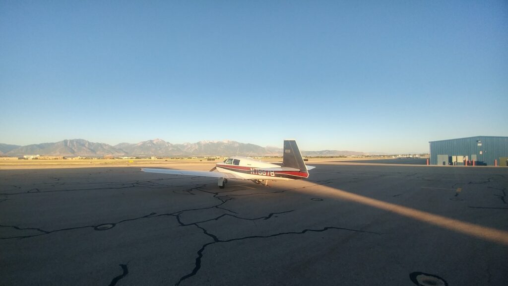
The family reunion on Saturday was great! Lots of time just being together, and everyone had fun.
Sunday started out with a bucket list item for my wife. We got to go and see the Mormon Tabernacle Choir perform their weekly “Music and the Spoken Word.” On July 15th, 1929 the first broadcast was made, and it has continued every Sunday for eight decades making it the longest continuing network broadcast in history. This one was a special treat as they, along with the Orchestra at Temple Square, performed a special Patriotic Themed Program. The narrator, Lloyd D. Newell announced that in his opinion nobody does patriotic music better than the Mormon Tabernacle Choir. There is a reason they have performed at multiple Presidential Inaugurations, and why President Reagan called them “America’s Choir.” The program was spectacular.
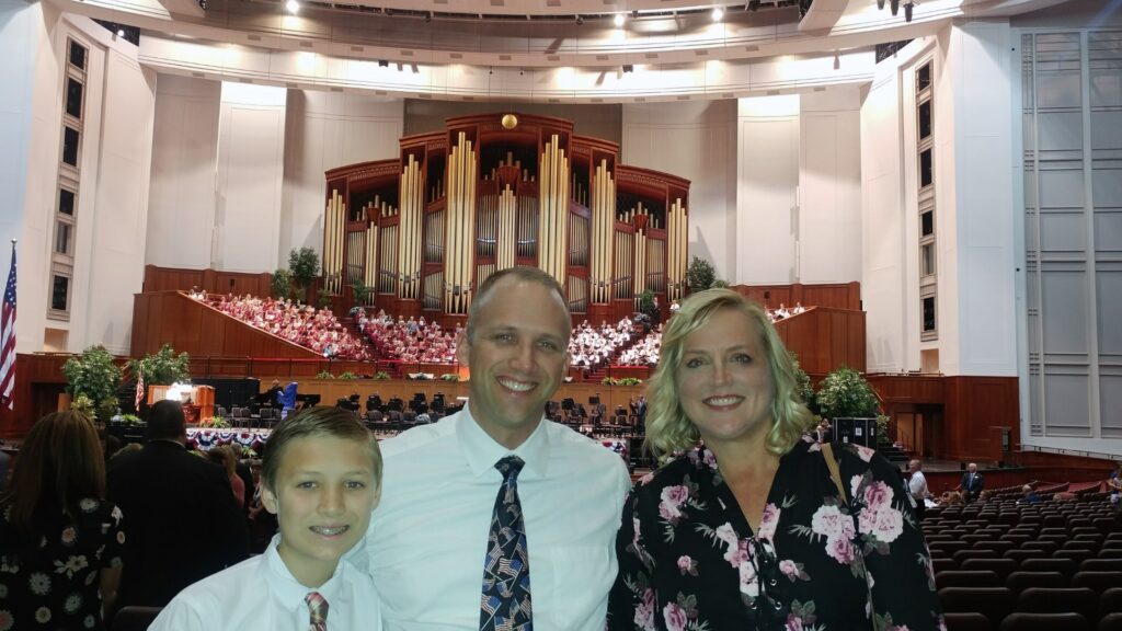
We spent the rest of the morning and early afternoon with family while I kept an eye on the clouds building up in the afternoon heat and humidity. By the time we were ready to go they had moved east across the valley and we had mostly clear skies.
I chose to stop again at Delta on the way for fuel. They have the cheapest fuel in probably 3-400 miles and then I knew even with the winds (how is it that there are headwinds going both directions) we would have enough to get home. Before we got to Delta there was a little bouncing around. Just north of Utah Lake we flew through a little turbulence that had us yawing back and forth and pitching up and down a little. My wife reminded me that she would really prefer to fly in the mornings and sat there with her eyes closed, I am assuming trying to “get to her happy place.”
The home-made AC performed well and kept it okay, even with the hot temperature on the ground in Delta and the slow climb out. The DA (Density Altitude) was again over 8,000′ and it took us 30 minutes to get back up to 10,500′, about a 200 foot per minute climb rate. The rest of the flight was fairly smooth considering it was a hot afternoon over the desert, right up until we were passing Lake Arrowhead in the mountains north of San Bernardino. Out of nowhere there were some pockets of air that had the bottom fall out on us and got our attention. However, once we were over the lip of the mountains and heading downhill over San Bernardino it smoothed back out. We made straight in on runway 25 at Corona (KAJO) and the AC was still blowing. The ice had long since melted, but the air coming out still felt nice.
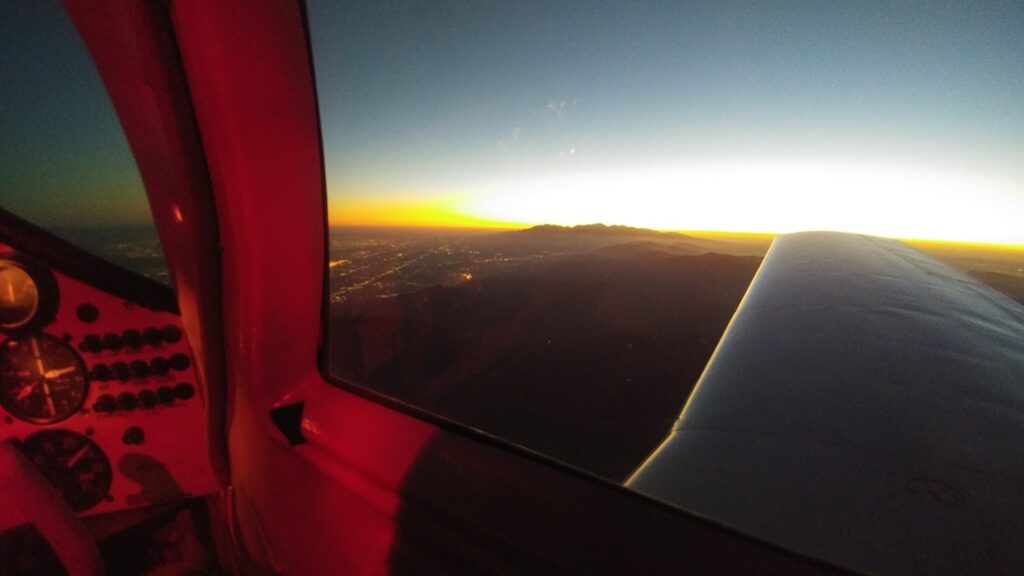
Sunset over Lake Arrowhead 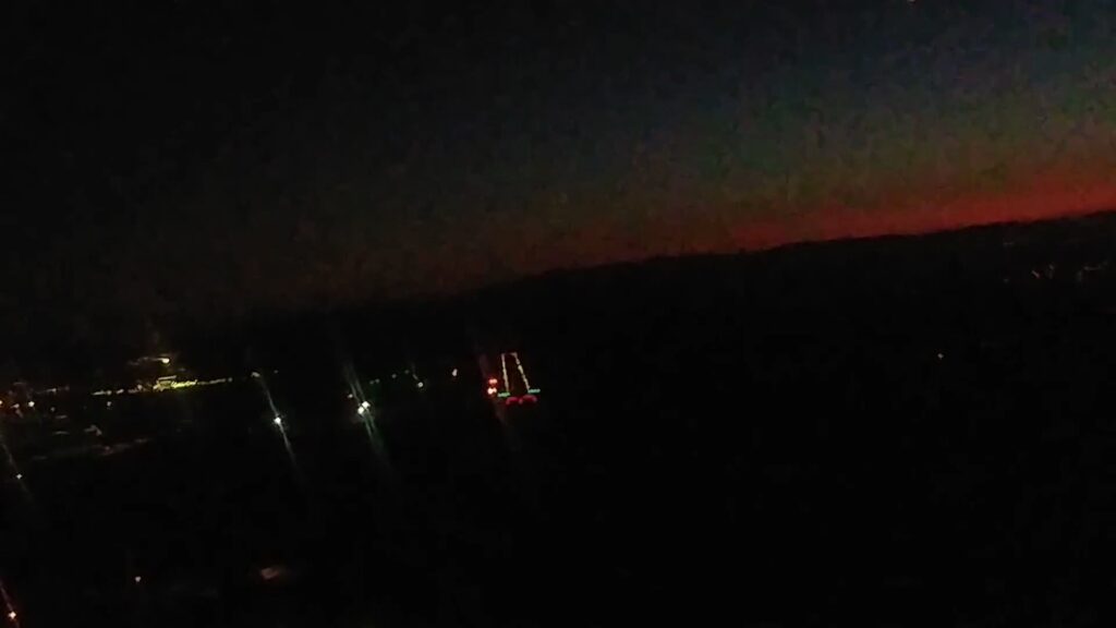
Final for Runway 25 at Corona – KAJO
July 15 Corona (KAJO) to Rexburg (KRXE) via Yellowstone and Idaho Falls (KIDA)
Another weekend and another trip in the Mooney. As I think of these trips, they either wouldn’t have happened, or they would have taken a lot longer, resulting in less time at the destination.
This time we were going back up to Rexburg, ID for the blessing of a new grand-daughter in church. Flying in the West is much smoother in the mornings. In fact it is often said that if you are flying in the mountains in the summer that you need to be on the ground before noon because of the frequent thunderstorms that form up in the afternoon.
Keeping the morning flying in mind, and my wife’s preference for smoother flights, we were going to get up at 4:30am to be in the air between 5:30-6am. While I have been getting up at 5am regularly, when the alarm went off at 4:30am it felt really early… I mentioned that to my wife and she said “Well one reason for the plane is so we don’t have to get on the road before dawn.” So I went back to sleep until 5:30am…
Instead of getting in the air by 6am we were wheels up at 7am. It was a relatively uneventful flight from Corona to our fuel stop in Delta, UT (KDTA). The next leg was to be a flightseeing trip on the way to Idaho Falls (KIDA) where my wife would pick up a rental car and then meet us in Rexburg (KRXE) where we would park the plane.
Sometimes you end up going to Plan C. I had mapped out a route that would take us north through Jackson Hole, over Yellowstone, and then back down to Idaho Falls. The route was contingent upon when the storms started to develop over the mountains. I was hoping to see the Tetons up close from the air, but that was not to be. About the time we were flying up the Cache Valley I decided that what I was seeing build up on the Nexrad on my tablet, combined with what I could see out the windscreen (visibility was unlimited) meant we would not be flying up through Jackson Hole.
Way points were changed on the tablet and I thought perhaps we would overfly Driggs Field (KDIJ) and at least see the Tetons from the west side. That was Plan B. I continued to watch the weather and it wasn’t long before I decided that was not going to be a good idea either. Driggs sits in a valley between 8,000′ mountains on the west and the Tetons on the east which range from 10,000′ up to the Grand Teton at 13,700′. There was a storm forming over the mountains to the west of Driggs to go along with the ones already to the east and I didn’t want to get caught between them, so on to Plan C.
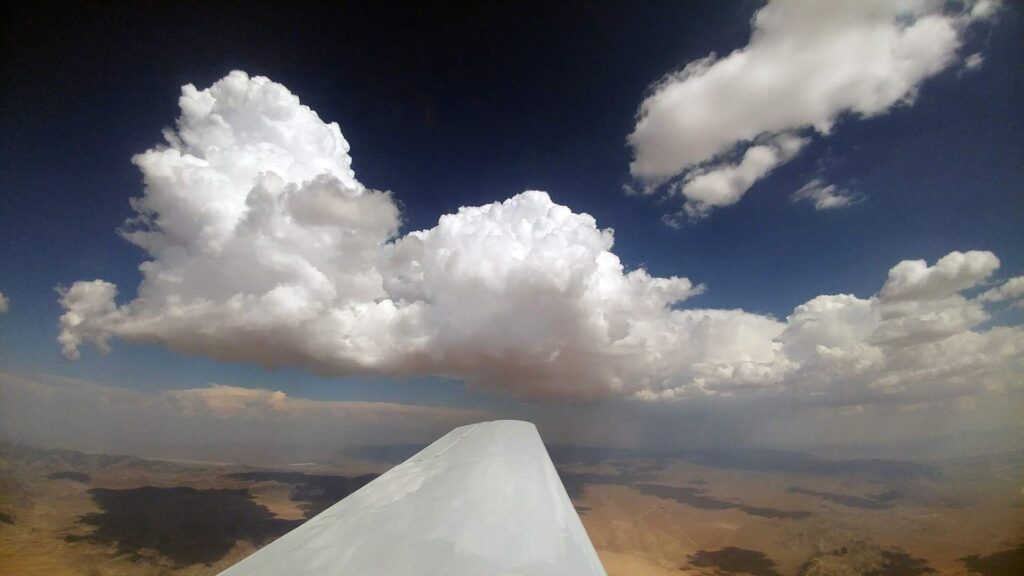
Plan C was to go around the west side of that storm near Driggs, staying in the clear skies, and then back around to the north-east for a tour of Yellowstone. As we passed over Soda Springs, ID we started to get into some of those early afternoon bumps… As I pointed out Idaho Falls and Rexburg off about our 10-11 o’clock position my wife mentioned that perhaps I could just drop her off and then continue on the flightseeing tour without her.
I was able to convince her to continue on the flight and soon we were flying over the vast expanse that is Yellowstone National Park. I went to Yellowstone 27 years ago with my family and it was impressive. I have heard it said that if you see Yellowstone by car, you only see about 3% of the Park. I believe it. There was mile after mile of forests, lakes, meadows, and streams. It felt strange that we were flying along at 9,500′ and we were only about 1,000 above the terrain below.
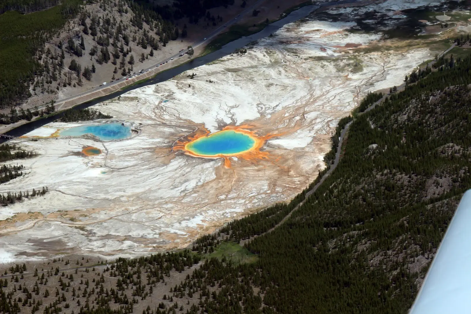
We flew East to Yellowstone Lake and then followed along the main road, taking in Old Faithful and the Grand Prismatic, along with numerous other springs and geyser areas from the air. Heading out of the Park to the west we could see the West Yellowstone Airport (KWYS). I wanted to land there, just to check Montana off the list of states landed in, but with the Density Altitude over 9,000′ at KWYS that would have to wait for another day. We flew past Henry’s Lake where we have spent family reunions with my wife’s family and then south to Idaho Falls.
We were on about a three mile final for 20 at KIDA when I saw that there was a regional jet at the hold short line. I really need to learn not to let waiting traffic rush me… Wanting to not keep them waiting I carried more speed than normal which resulted in a much longer float and not quite as nice a landing as I would have liked. We taxied to the FBO where they directed me to parking at the fuel pumps. (Convenient)
The rental car was waiting for us and after a quick stop in the restrooms and some cold water from the drinking fountain my son and I went back out to the plane while my wife went to the car. I wanted to get some fuel before leaving but noticed that there was a sign that it was “No Self-Serve Fuel.” I asked the line guy about it and he said that up at the end of one of the taxi-ways (I don’t remember which one) was the self-serve which would save me about $0.30 a gallon. It was hot out, and they had been very helpful and friendly so I decided to just go ahead and get fuel from him. I had him put in 10 gallons and then we were on our way for the short hop over to Rexburg (KRXE).
These flights today were the longest I had ever flown in a single day, almost 8 hours of flying.
July 16 Rexburg (KRXE) to Corona (KAJO)
After the granddaughter’s blessing at church we went over to the park for a family lunch. Not wanting to get too late a start (summer/mountains/thunderstorms) my son and I ate quick and then my wife dropped us off at the airport. She was going to stay and spend a little more time up there visiting family, and also to miss what would most likely be a bumpy ride home. The park is next to the airport, right under the traffic pattern so I told them I would make one pass around and waggle the wings before heading south.
We got everything loaded up and put a couple of bags of ice in the homemade AC unit. While we were getting all set there was a Cessna that entered the downwind leg and came around and landed. After the run-up I sent my wife a text that we were about to take off. We climbed out, flew around the pattern, and then made a pass back over the runway at pattern altitude. As we looked over to our left we saw that the park was empty, everyone was gone except my wife who I saw standing by the car waving to us. It turned out that when she got back to the park everyone swore that I had already flown over because they saw a white plane and it wiggled its wings a little. Despite her trying to convince them that in the five minutes since she had dropped us off there was no way we could have finished loading up, started up the plane, taxied down, done a run-up, and then flown over them, they all insisted it was my plane and left… Oh well…
We made our fuel stop in Delta and I was anxiously watching the weather on my tablet. We had already flown past some storms that were building to the East as we were flying down the valley south of Tooele, UT and I had been keeping an eye on some developing further south that we would be passing near on the next leg.
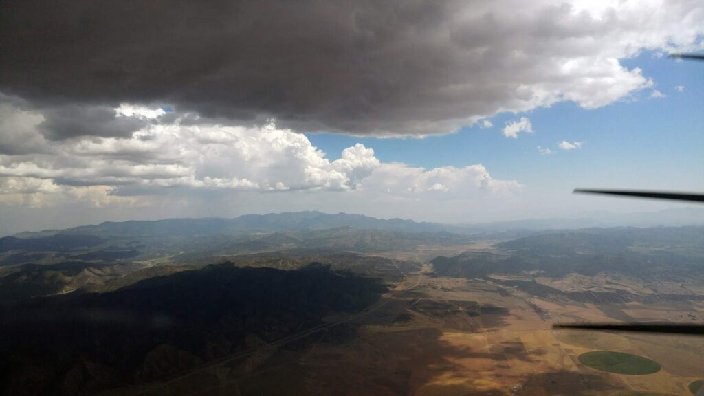
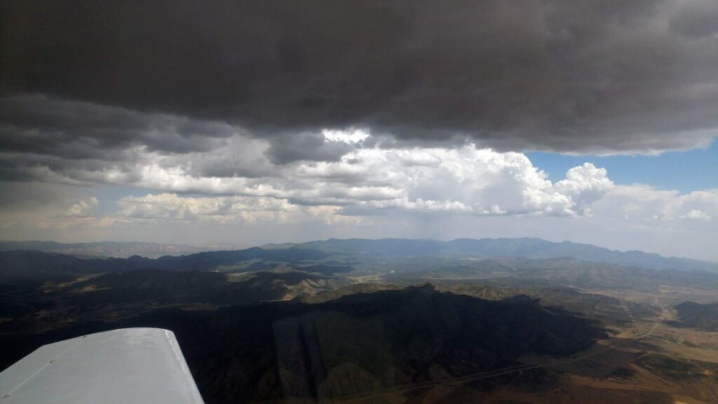
We began a very slow climb out of Delta with the density altitude over 8,000′ on the ground. We eventually made it to our cruising altitude (average of about 250′ per minute rate of climb) and then a little north of Milford the fun began. We could see storms to the West, some light stuff in front of us, and heavier stuff to the East. Suddenly I was watching the vertical speed indicator increasing until we were climbing at over 1,000′ per minute. I was pushing the nose over which slowed the rate of climb but we were still climbing. The airspeed indicator kept climbing until I pulled power back to keep from exceeding the max indicated airspeed of 189 mph. We got through the updraft and back down to 10,500′ and continued on just bouncing around in the unstable afternoon air.
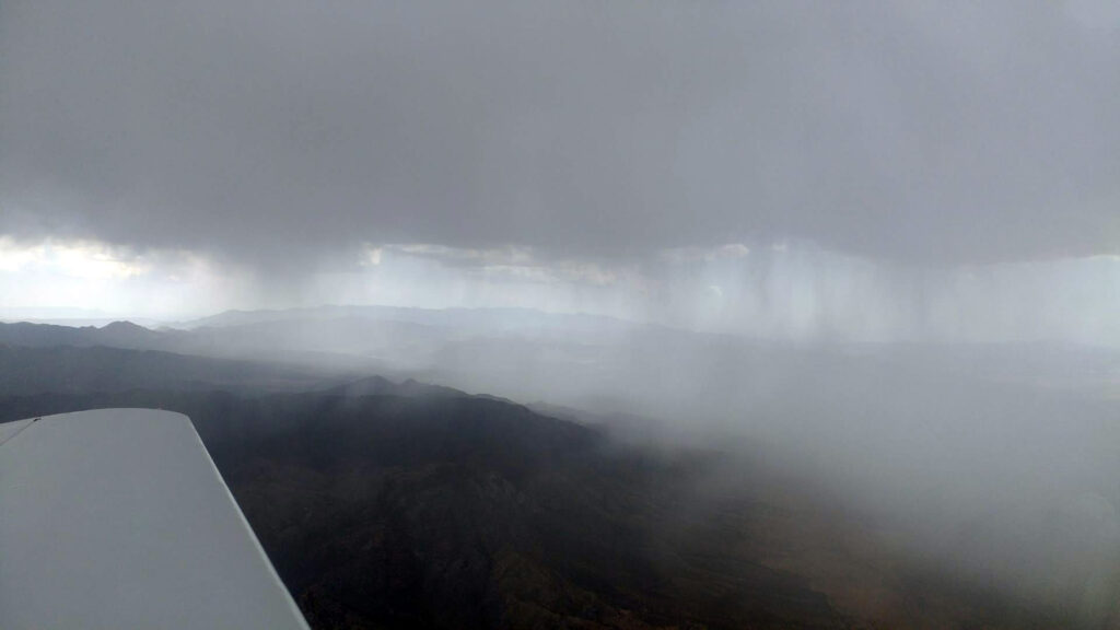
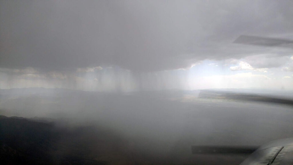
We picked our way through the lighter areas of precipitation and watched the rain going over the surface of the wings. The rain where we were flying was light enough that you could see through it to the other side, but the plane continued to pitch and yaw requiring constant changes to the control inputs. Eventually we were through all of it with sunny skies ahead and the rain drops getting even fewer and further between as we passed about 30 miles west of St George, UT. At least I thought we were through it. Just then I saw coming toward me what looked like hail and I thought “Oh no….” Fortunately they were just huge rain drops, but they were so big that I initially thought it was hail. They gave the plane one final wash and then we were past the rain and out from under any clouds for the remainder of the flight.
The rest of the flight was a bouncy affair without much time to relax. Finally we were coming over the top of Lake Arrowhead and heading downhill over San Bernardino. I called up the Riverside tower to request a transit through their airspace along the 91 freeway to get set up for an easy straight in approach at Corona if there were no other planes around. The radios were quite at Corona, so I set up for that straight in approach to runway 25. The winds were from 300° at 13 knots, gusting 18 knots giving a crosswind component of 10-13.8 knots. Even with the gusty winds I felt it was a nice landing. It had turned out to be a more exciting flight home than I was looking for, and probably a good time for my wife to choose to stay a few extra days visiting her kids and taking a commercial flight home.
July 22nd/23rd Corona (KAJO) to Chandler, AZ (KCHD)
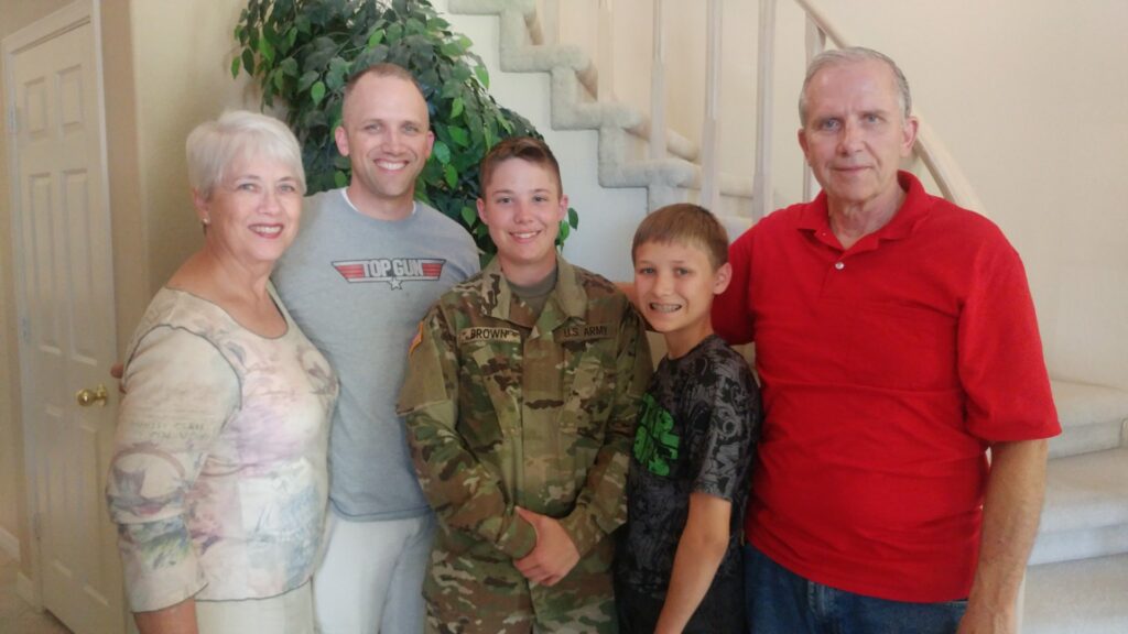
My youngest daughter has been away at Basic and then Advanced Training for the California Army National Guard. (Still not sure with a grandfather, uncle, and great-grandfather that were all Air Force why she went Army, but we still love her…) With her return from training and the Mooney for fast traveling it was a chance to take her to Arizona to see family there that she hasn’t seen for a long time.
As usual for a summer flight we were going to get on our way early to avoid the summer unstable air and have more time to spend with family, but that was before our VIP passenger decided to sleep in. Her claim is that her alarm didn’t go off. “That’s her story and she’s sticking to it…” I just wish I could have had the extra half hour of sleep that she got.
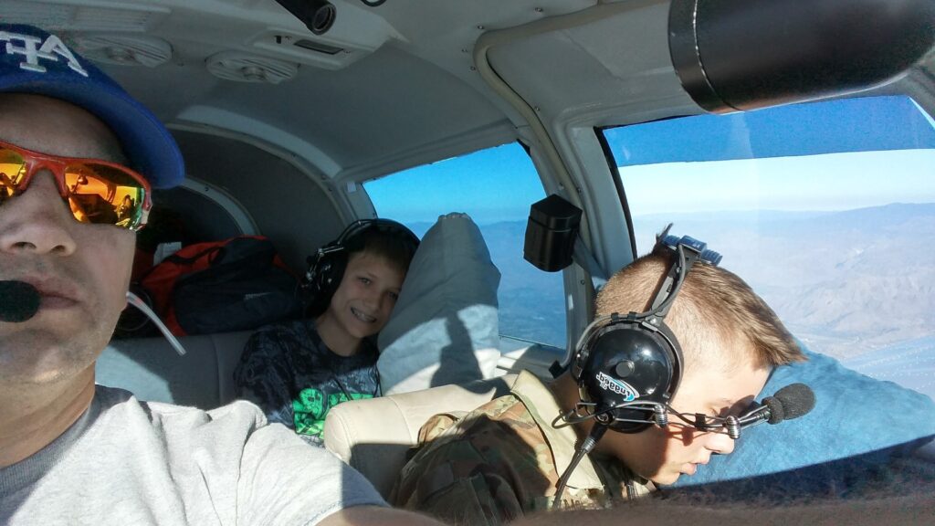
Anyway… She finally got to our house and we headed to the airport. After pre-flight we were on our way eastbound at 9,500′ and talking with air traffic control on flight following. About 30 minutes into the flight she was falling asleep.
Me: “Did you want a pillow?”
Alexa: “Sure, you have one?”
Me: “Yep, you’re flying in the first class section.” 🙂
I also informed her that for snacks we had Cheezits, trailmix, granola bars, and pop tarts, along with her choice of water or water. (No soda pop, it’s too corrosive if spilled.)
We had a great flight there and a great visit! The flight back at 10,500 on the 23rd was just as uneventful.
