This one has been sitting in the draft folder for about 18 months. At the time I couldn’t remember the last time I flew commercial. I think it was somewhere around the end of 2020, that’s been a pretty good run. It is a little ironic that as I was finishing this article, I was in seat 12F of a Delta flight at 34,000’ on my way back to California from Nashville. I’m not positive, but it really feels like there’s more shoulder room in the front seat of my Mooney than my current lot in life, and that is even with the “Comfort +” seating. I’m glad I’m not in “Comfort -.”
I don’t miss any of the Commercial experience. Security checks, sitting around for a couple of hours at the airport, the people from boarding zones 5+ crowd around the gate even though they’re only boarding zone 2, or the guy in the seat behind me who I think was been practicing the foot pedal to his base drum on my seat all flight long, and someone nearby that halfway through the flight got out some strong smelling hand lotion or something.
Making a Plan
Let’s hop in the way back machine for this flight in our Mooney which took place April 5, 2023.
The Mooney, the aluminum cattle car, or a 13-hour drive, we were going to Idaho.
A couple months ago my oldest son sent a message that he would be graduating from BYU Idaho on Thursday, April 6th. Those of you who know what I do for work to fund my love of General Aviation know that the first 5 business days of the month are the busiest time of the month for me. I have three stores that I must get the financials closed and uploaded to General Motors in that time span.
However, your son’s college graduation is not something you miss if there is any way possible to be there, so I started mapping out a strategy. I have been able to consistently get the books closed by the fourth day, and there have been a couple months where everything worked out and they were all closed the third day. However, he would walk early in the afternoon on the 6th, which meant I needed to be in Idaho Falls, almost 700 NM away, on the 5th.
In March I had to adjust my departure to Arizona for a nephew’s wedding to a day earlier to avoid a forecast of moderate to severe turbulence in IMC (Instrument Meteorological Conditions). My wife and I flew there on a Thursday evening, and I spent the entire day Friday at the kitchen table in my sister’s house working remotely. It was a great trial run as I learned that there were reports that I could print to the system and then pull up as PDFs to work from, a necessary step if I was going to work on closing the financials remotely.
The plan was coming together. I figured that if I worked some over the weekend at home on the 1st and 2nd of April I could get a lot of the data together into my spreadsheets so I could hit the ground running on Monday the 3rd. Depending on the workflow through the office I hoped that I would have at least one store finished by the end of the day on the 4th, or the morning of the 5th. I would work at our store by the airport on the 5th, and if we were airborne by 1pm we could be landing in Idaho Falls (KIDA) at sunset. Graduation was the 6th and then I would spend Friday the 7th working from the hotel to finish everything up.
Would the Weather Cooperate?
The only thing that could derail my master plan was the weather, which if you know anything about Idaho weather in the Spring, anything can happen. A friend once sent me a list of Idaho’s 12 seasons which can often change in less than 24 hours.
A week before the flight it looked like it might be doable. But five days before I was beginning to get a little concerned that I would be driving or spending a substantial amount of money to fly commercial. Then we caught a break in the forecast. There was a major storm that would be going through Utah and Idaho the day before the planned flight and should be cleared out the next day when we flew.
There was some risk that remnants of the storm might linger in places along the route which made my plan to be on the ground by sunset a requirement. I didn’t want to be flying around the mountains, after dark, with possible clouds and scattered snow showers that you wouldn’t see until you were in them. During the day scattered snow showers are easy to navigate around, after dark it’s a no go.
I put in the hours over the weekend and by the 2nd working day (Tuesday the 4th) I had one store done. So far, so good. The planned flight time was 5 ½ hours, with a 30-minute fuel stop at Delta, UT (KTDA). We needed to be wheels up at 1300 PDT (1pm) to be touching down at sunset which was 1958 MDT (7:58pm).
I worked until noon and then headed to the airport to meet my wife, load, and pre-flight the plane. I had enough fuel to get to my planned stop at Delta and land with my personal minimum 10 gallons on board, but I called the fuel truck to come top off the right tank which gave us an extra 8 gallons. Later I would be glad we had the extra fuel. We were wheels up at 1302, right on schedule.
It was a beautiful clear day, there was snow on the San Gabriel and San Bernardino mountains, and you could see for over 100 miles. As we passed over the mountains between Silverwood and Arrowhead Lakes there were the usual bumps. Later over the high desert when the bumps hadn’t subsided my wife looked at me and said, “Should I have taken a Dramamine?”
“I don’t know, there wasn’t any forecast for turbulence,” I replied.
Anyone that has flown knows that sometimes it’s bumpy when the forecast says it won’t be, and sometimes it’s smooth when it says it will be bumpy. Fortunately, it smoothed out for the most part.
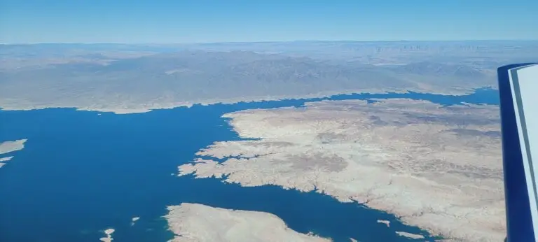
Lake Mead looked beautiful with the water levels coming up and the surrounding red and brown rocks. Next were the snow-covered mountains near Cedar City and Enterprise, UT along with the remnants of the previous day’s storm. A long way off, back when we were still near Las Vegas we could see little puffs of clouds on the horizon. As we proceeded north the clouds got thicker in places, but the ceilings were high as we flew up the valley where Milford and Delta are, even though the mountains to the east were completely shrouded in clouds.
A Diversion for Snow
There were some scattered snow showers as I had anticipated, but the valley is between 20-35 miles wide and there was plenty of room to go around them. Well, unless there is one at your destination. As we got closer to KDTA I was keeping an eye on a particular snow shower that appeared to be about where the airport should be. The automated weather was reporting few clouds at 800’ and scattered at 1,400’, but the closer we got the more I was thinking the snow might be an issue.
KDTA is right on the flight path to Salt Lake and Idaho, and with typically the cheapest fuel for 100 miles around it is a great fuel stop. I have landed there 12 times, but still have trouble picking the runway out of the surrounding brown landscape, and with only a couple of hangars the airport itself doesn’t exactly stick out.
I put the approach into my navigation for guidance and kept looking for the runway. At about five miles out I saw it just poking out from the edge of snow shower in front of us and decided to break off the approach. As we turned to the northeast and I looked off my left wing, I could just read the 35 at the end of the runway before it disappeared into the falling snow.
“Looks like we’ll head over to Nephi instead,” I told my wife. I knew that the Fillmore airport behind us was clear, at least when we flew past it, but I didn’t want to go backwards and because I could see the mountains 45 miles away that are north of Nephi I was confident we would be able to land there for fuel.
We landed with 13 gallons on board. If we hadn’t taken on the extra fuel, we would have been right at the VFR minimum of 5 gallons but well below my personal minimum of 10 gallons. The landing and fuel stop were uneventful (the best kind) although it was cold and there was a snowstorm about five miles to the north. The reported winds were 13 knots from 10°, and I was hoping that the upper-level winds were different and that the snow would remain to the north of us. The weather cooperated, and although there was a random snowflake that drifted past as I was fueling, the snowstorm itself never got any closer.
With the plane fueled up and a restroom break we were back in the plane and soon airborne. We departed on 35 and made an early crosswind turn to the south until we had climbed high enough to clear the mountains west of the airport and turn on course.
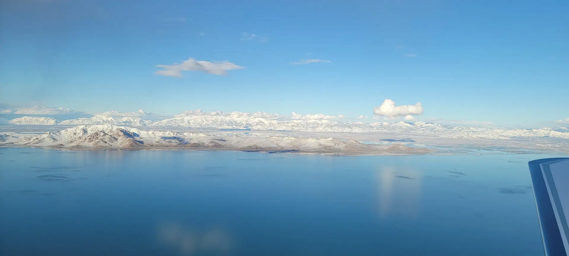
We flew up the Tooele Valley, over the Army Depot and its row after row of munition bunkers, and then out over the Great Salt Lake at 6,500’. The skies were mostly clear, with a few clouds here and there and the occasional snow shower.
"That's an F-35!"
Just north of Antelope Island we had a surprise visitor.
“Oh Dude! There’s a jet that just went underneath us!” My wife exclaimed as she looked out the right side of the plane.
“That’s an F-35, wow!” I replied watching him screaming away from us 500’ below our altitude. I tapped his icon on the tablet to pull him up, “386 knots, that’s what he’s doing,” I said.
With a smile on her face my wife said, “You got that on video.”
Sadly, I didn’t get the video. When we got to the hotel, and I pulled the data card from the camera under the wing, I found that while I had turned the camera on during our fuel stop, I failed to press start. To make myself feel better I reasoned that an F-35 flying underneath us perpendicular to our flight path at 386 knots would have been in the frame for less than a second. (386 knots = 651 feet per second, sounds reasonable enough to me)
Continuing north along Interstate 15 we passed Malad, ID and the majestic snow-covered peaks of the Bannock Range with the sun getting lower on the horizon and peeking through the gaps in the clouds. Just north of McCammon, ID Interstate 15 turns toward the west and Pocatello, but the valley continues north to Idaho Falls.
The pass was clear when we started up it
We were at 7,000’ with the valley floor sitting at 5,500’. The overcast layer was around 8,000’ although it was difficult to tell exactly where it began. Looking ahead my wife asked, “Are you nervous?”
“No, I can see the sun and clear skies on the other side of the pass,” I replied. I had already picked up the weather at Idaho Falls (KIDA) which was reporting few clouds at 4,900, so knew if I could see the sun on the other end of the pass that once we were through, we would be in clear skies.
One rule when flying in the mountains is to always have an out and never be afraid to take it. Continuing up the pass that is about two miles wide, I watched as the sun at the far end of the valley, about five miles ahead, disappeared and was replaced by the white haze of snow. As soon as I saw that developing, I began a left turn back towards the south and the clear skies. Out of the pass and over the interstate again we followed the valley, comfortably beneath the clouds and 1,500-2,000’ above the ground below us.
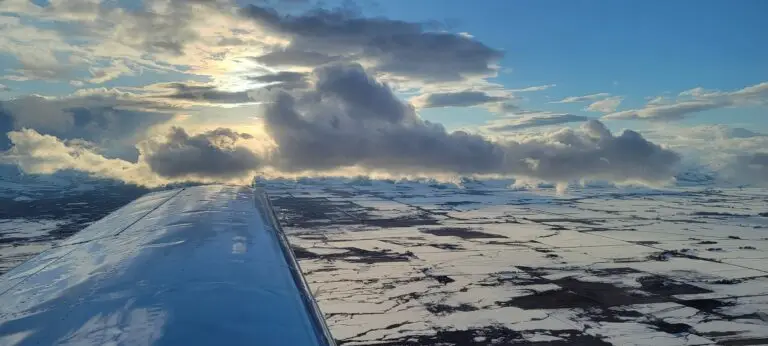
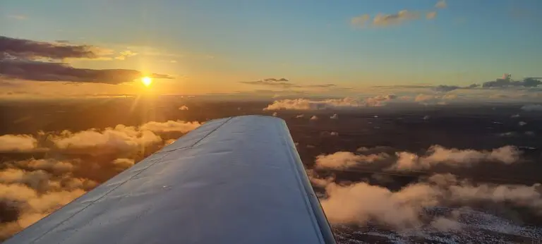
I have seen a lot of beautiful sunsets, but passing Blackfoot ranked right up there with the best of them. There were a few clouds above us and some low clouds near the ground with patches of snow breaking up the brown fields. The sun was just above the horizon radiating a golden yellow which faded to a blue above and bathed the clouds below us in varying shades of orange and gold. It was spectacular.
Great tailwind pushing us into Idaho Falls
Normally I would wait until about 7-10 miles outside of a Class Delta airport to make a radio call, but we had a nice tailwind and were cruising along at 180 mph over the ground so I called up 15 miles out.
Me: “Idaho Falls Tower, Mooney 1015 Echo, six thousand two hundred, fifteen miles to the southwest, inbound with Alpha.”
Tower: “Mooney 1017 Echo, Idaho Falls Tower, information Alpha is current, altimeter 30.15, enter left traffic runway 21.”
Me: “One-Zero-One-Fiiivveee (drug it out just a little) Echo, left traffic two-one.”
Conversation on the intercom not broad casting.
Me: “He said one-seven”
Wife: “I thought he said one seven five.”
Me: “I don’t know, whatever it was, it wasn’t right.”
A few seconds later.
Tower: “Mooney one five Echo, we’re going to be closing on the hour, that’s five minutes or so and we’ll be class Echo airspace.”
Me: “Roger, one five Echo.”
Intercom
Wife: “The tower closes?”
Me: “Yep, which is fine. They’re closing in five minutes, and we’ll be there right as they close.”
Me: “We’re coming screaming in, groundspeed of 185, eight miles out, I better start slowing down a little bit.”
I pulled the power back, and it barely helped.
Me: “Seriously, we have a ripping tail wind, groundspeed is still 176.”
It’s amazing the difference sometimes between winds on the ground and just 1,500’ up. The tower reported winds 180 at 9 knots to the helicopter 10 miles behind us but we had about 25 knots pushing us along.
“We may sneak in before he closes, we have two minutes,” I said over the intercom.
Tower: “Mooney 1015Echo, I have you in sight, runway 21 cleared to land, wind one nine zero at one zero.”
Me: “Two one cleared to land, one five echo.”
We didn’t quite make it before closing time. Just as we were getting ready to turn base tower made their last broadcast of the day.
“Attention all aircraft, time now zero-two zero-zero zulu, Idaho Falls tower is closed, air traffic control and delta services are terminated until zero-seven hundred local time tomorrow, class echo airspace is now in effect.”
During his announcement we had turned base with the only other traffic in the area being the helicopter inbound from the south. Nine seconds after his announcement we were turning final.
“Idaho Falls traffic, Mooney one-zero one-five Echo, turning final two-one, Idaho Falls.”
One minute and fifteen seconds later we touched down on the 1000’ markers with one of my smoothest landings ever.
“Oh wow, that’s like butter!” I proudly proclaimed.
My wife who has been with me for hundreds of landings even agreed saying, “That was amazing!”
“If I can do it again” I thought out loud.
As we pulled onto the ramp at the FBO they were there directing us to a parking spot and shortly after shutting down the engine they had us tied down. My son was there waiting, and seeing the new paint job for the first time in person declared that it looked “awesome!”
The sun had set at 1958, and we were on the ground at 2002. We had just flown 847 miles with a fuel stop, and if you consider we departed two minutes late, we landed within a minute of what I had planned. Without the detour from the snow that closed our route through the pass we would have been early, but I’ll take it! Just another trip in the Mooney Time Machine.


